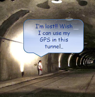
The Global Positioning System (GPS) was initially intended for military applications, but it has been embedded in many commercial devices these days. One common use of GPS is for navigation. Though the GPS can be used almost everywhere, it doesn't work well when the signal is unreachable such as inside most buildings, in caves and other subterranean locations, tunnels and underwater. In this case, Simultaneous Localization and Mapping (SLAM) will be able to offer a new navigation perspective. SLAM is the process by which a mobile robot can build a map of an environment and at the same time use this map to compute its own location. It will be able to solve the current GPS navigation problem by imitating how human and animal navigate. Typically human use their eye sight to determine its current position by relatively positioning themselves with respect to another object's location before being directed from one place to another. To get to a specified location X, a subject might be asked to find Landmark A on their left, Landmark B on their right and Landmark C ahead. Based on these landmark they can decide to turn left or right and proceed with the next landmark. Therefore, despite of using GPS, an on board sensor such as camera can be used as an alternative way to navigate. The SLAM process will involve image recognition technique to recognize (and associate) the landmark and estimation technique to estimate the position. When the SLAM is fully functional, you can aspect to easily find a specific outlet in a shopping mall, study the navigation behavior of a sea turtle underwater for conservation purpose and construct the world map automatically.


No comments:
Post a Comment